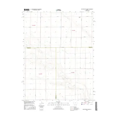
2015 Map of West Bethany Church
USGS Topo · Published 2015About this map
Harrison Flats dominates the northeast portion of this 2015 landscape, marking a broad expanse where the high plains terrain of western Kansas levels out. Situated at the junction of Wallace Co, Greeley Co, and Wichita Co, this area is defined by a rigorous section-line road network that reflects the enduring legacy of the Public Land Survey System. The descriptive road names like Dusty Rd, Bumpy Rd, and Crosswind Rd provide a candid look at the local environment and the character of travel through these agricultural townships. While the map is sparse of dense settlements, the intricate contouring around the various county boundaries suggests subtle drainage patterns and landforms that have dictated the region's ranching and farming boundaries for generations.
Find a feature on this map
32 named features on this map. Tap any name to fly to it.
Don’t see what you’re looking for? This feature index may not catch every label — zoom into the map to look around manually.
Map Details
Editions of this 2015 West Bethany Church Map
This is the sole edition of this map. No revisions or reprints were ever made.
Other maps of this area

1955 · Scott City
USGS Topo · 1:250,000

1958 · Scott City
USGS Topo · 1:250,000

1959 · Wallace
USGS Topo · 1:62,500

1968 · Russell Springs 3 SW
USGS Topo · 1:24,000

1968 · Russell Springs 3 NW
USGS Topo · 1:24,000

1968 · Sharon Springs 4 NW
USGS Topo · 1:24,000

1968 · Sharon Springs 4 NE
USGS Topo · 1:24,000

1969 · Russell Springs 2 SW
USGS Topo · 1:24,000

1970 · Sharon Springs 4 SE
USGS Topo · 1:24,000

1970 · Sharon Springs 4 SW
USGS Topo · 1:24,000