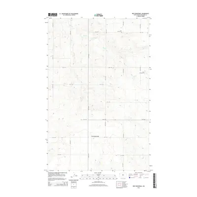
2014 Map of West Bonetraill
USGS Topo · Published 2014About this map
Saint Boniface Cem sits in the northern reaches of this Williams County landscape, serving as a quiet landmark in a region defined by its wide, geometric grid of rural roads. The area around West Bonetraill is etched by the meandering path of Willow Cr, which cuts across the upland prairie. The terrain is marked by a series of north-south avenues and east-west streets, such as 151st Ave NW and 68th St NW, reflecting the systematic township and range organization of the North Dakota plains. The inclusion of Nicks Landing Airport in the northeastern quadrant suggests a landscape where small-scale aviation supports the expansive agricultural operations typical of the High Plains. This survey provides a clear view of the sparse but deliberate settlement pattern near the Montana border in the early 21st century.
Find a feature on this map
17 named features on this map. Tap any name to fly to it.
Don’t see what you’re looking for? This feature index may not catch every label — zoom into the map to look around manually.
Map Details
Editions of this 2014 West Bonetraill Map
This is the sole edition of this map. No revisions or reprints were ever made.
Other maps of this area

1946 · Brush Lake
USGS Topo · 1:24,000

1948 · Grenora
USGS Topo · 1:24,000

1948 · Hanks
USGS Topo · 1:24,000

1948 · Brush Lake
USGS Topo · 1:24,000

1953 · Williston
USGS Topo · 1:250,000

1954 · Wolf Point
USGS Topo · 1:250,000

1957 · Williston
USGS Topo · 1:250,000

1958 · Wolf Point
USGS Topo · 1:250,000

1974 · Bonetraill
USGS Topo · 1:24,000

1974 · Brush Mountain
USGS Topo · 1:24,000