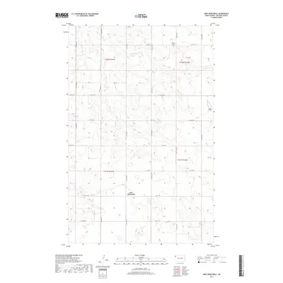
2017 Map of West Bonetraill
USGS Topo · Published 2017About this map
West Bonetraill anchors this prairie landscape in Williams County, where the topography is defined by the winding course of Willow Cr. The map reveals a rigid section-line road network typical of the northern Great Plains, with routes like Co Hwy 10 and 151st Ave NW carving the land into a precise grid for agricultural use. Small-scale human markers such as Saint Boniface Cem and the settlement at Nicks Landing provide specific points of interest for genealogists and local historians tracking the development of this rural corridor in the twenty-first century. The presence of numerous small depressions and wetlands scattered throughout the townships reflects the region's glacial history and its continuing importance to the local hydrology.
Find a feature on this map
21 named features on this map. Tap any name to fly to it.
Don’t see what you’re looking for? This feature index may not catch every label — zoom into the map to look around manually.
Map Details
Editions of this 2017 West Bonetraill Map
This is the sole edition of this map. No revisions or reprints were ever made.
Other maps of this area

1946 · Brush Lake
USGS Topo · 1:24,000

1948 · Grenora
USGS Topo · 1:24,000

1948 · Hanks
USGS Topo · 1:24,000

1948 · Brush Lake
USGS Topo · 1:24,000

1953 · Williston
USGS Topo · 1:250,000

1954 · Wolf Point
USGS Topo · 1:250,000

1957 · Williston
USGS Topo · 1:250,000

1958 · Wolf Point
USGS Topo · 1:250,000

1974 · Bonetraill
USGS Topo · 1:24,000

1974 · Brush Mountain
USGS Topo · 1:24,000