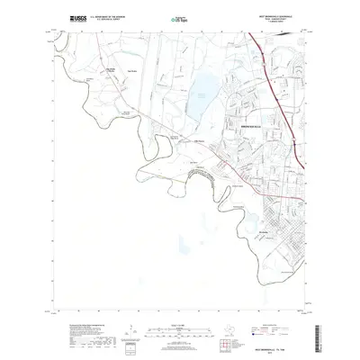
2019 Map of West Brownsville
USGS Topo · Published 2019About this map
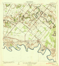
The winding Rio Grande serves as the international boundary between the United States and Mexico, defining the southern edge of this West Brownsville corridor. This river landscape is marked by dramatic oxbows and named reaches such as San Pedro Bend, Rock Bend, and Rusteberg Bend, illustrating the complex hydrology of the Rio Grande Valley. Inland, the importance of water management to the region's agricultural and urban development is evident in the presence of the Resaca de La Palma Reservoir, the Rancho Viejo Floodway, and the Los Fresnos Canal.
Find a feature on this map
174 named features on this map. Tap any name to fly to it.
Don’t see what you’re looking for? This feature index may not catch every label — zoom into the map to look around manually.
Map Details
Editions of this 2019 West Brownsville Map
This is the sole edition of this map. No revisions or reprints were ever made.
Other maps of this area

1929 · La Paloma
USGS Topo · 1:24,000

1930 · Los Fresnos
USGS Topo · 1:24,000

1930 · West Brownsville
USGS Topo · 1:24,000

1930 · Barreda
USGS Topo · 1:24,000

1930 · East Brownsville
USGS Topo · 1:24,000

1936 · Los Fresnos
USGS Topo · 1:31,680
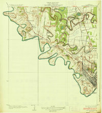
1936 · West Brownsville
USGS Topo · 1:31,680
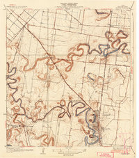
1936 · Barreda
USGS Topo · 1:31,680
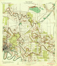
1936 · East Brownsville
USGS Topo · 1:31,680
1936 · La Paloma
USGS Topo · 1:31,680