
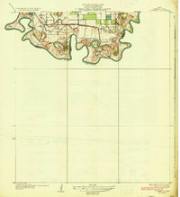
1930 Map of West Brownsville
USGS Topo · Published 1930About this map
The Rio Grande carves a complex, serpentine path along the border between Texas and Tamaulipas, defining the landscape of this 1930 survey. The intricate hydrology of the region is marked by numerous bancas—cut-off river loops—including Guerro Banco and Trevino Canales Banco, alongside the ancient distributary channels known as resacas. The Resaca del Rancho Viejo and Resaca de la Palma dominate the interior drainage, reflecting the unique alluvial delta environment before modern water control extensively altered the flow.
Find a feature on this map
35 named features on this map. Tap any name to fly to it.
Don’t see what you’re looking for? This feature index may not catch every label — zoom into the map to look around manually.
Map Details
Editions of this 1930 West Brownsville Map
This is the sole edition of this map. No revisions or reprints were ever made.
Other maps of this area

1929 · La Paloma
USGS Topo · 1:24,000

1930 · Los Fresnos
USGS Topo · 1:24,000

1930 · Barreda
USGS Topo · 1:24,000

1930 · East Brownsville
USGS Topo · 1:24,000

1936 · Los Fresnos
USGS Topo · 1:31,680
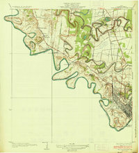
1936 · West Brownsville
USGS Topo · 1:31,680
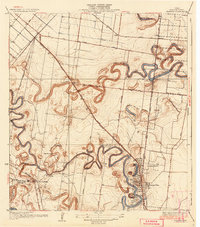
1936 · Barreda
USGS Topo · 1:31,680
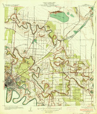
1936 · East Brownsville
USGS Topo · 1:31,680
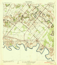
1936 · La Paloma
USGS Topo · 1:31,680
1936 · Southmost
USGS Topo · 1:31,680