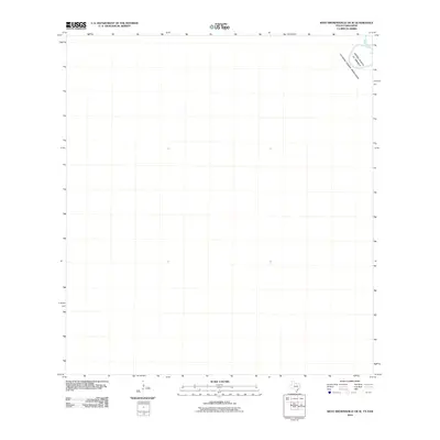
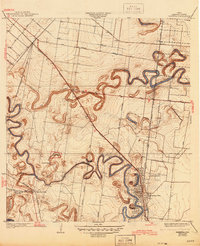
2010 Map of West Brownsville OE W
USGS Topo · Published 2010About this map
The Rio Grande snakes through the far northeastern corner of this coastal plain study, marking the international boundary between the United States of America and Estados Unidos Mexicanos. This 2010 survey focuses on the open, low-lying borderlands west of Brownsville, where the landscape is defined more by its geopolitical significance and the winding course of the river than by dense settlement. The map serves as a clear record of the river's channel and the immediate riparian zone at the turn of the decade, providing a high-resolution look at this specific stretch of the international frontier before further landscape modifications.
Find a feature on this map
3 named features on this map. Tap any name to fly to it.
Don’t see what you’re looking for? This feature index may not catch every label — zoom into the map to look around manually.
Map Details
Editions of this 2010 West Brownsville OE W Map
This is the sole edition of this map. No revisions or reprints were ever made.
Other maps of this area

1929 · Santa Maria
USGS Topo · 1:24,000

1929 · La Paloma
USGS Topo · 1:24,000

1930 · West Brownsville
USGS Topo · 1:24,000

1930 · Barreda
USGS Topo · 1:24,000
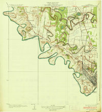
1936 · West Brownsville
USGS Topo · 1:31,680
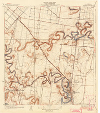
1936 · Barreda
USGS Topo · 1:31,680

1936 · Santa Maria
USGS Topo · 1:31,680
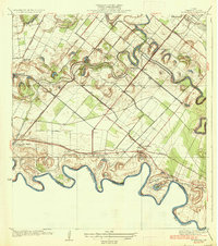
1936 · La Paloma
USGS Topo · 1:31,680
1945 · Olmito
USGS Topo · 1:31,680

1953 · Brownsville
USGS Topo · 1:250,000