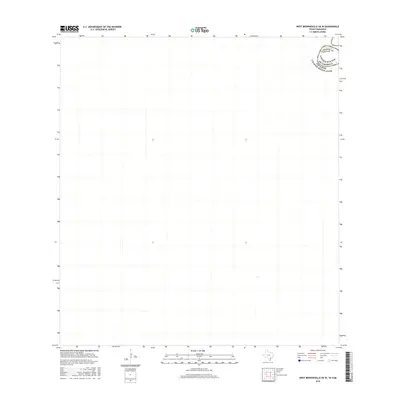
2016 Map of West Brownsville OE W
USGS Topo · Published 2016About this map
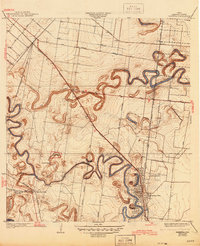
The Rio Grande serves as the defining geographical and political boundary on this 2016 survey, where the international border between the United States of America and Estados Unidos Mexicanos is clearly delineated. This specific quadrangle covers a section of the river where Cameron County, Texas meets the Mexican state of Tamaulipas. The map is notably sparse, focusing on the winding course of the river itself and the immediate riparian zone. This minimalist representation emphasizes the natural divide formed by the waterway before it reaches the Gulf of Mexico, providing a clear reference for the physical geography of the border during the mid-2010s.
Find a feature on this map
3 named features on this map. Tap any name to fly to it.
Don’t see what you’re looking for? This feature index may not catch every label — zoom into the map to look around manually.
Map Details
Editions of this 2016 West Brownsville OE W Map
This is the sole edition of this map. No revisions or reprints were ever made.
Other maps of this area

1929 · Santa Maria
USGS Topo · 1:24,000

1929 · La Paloma
USGS Topo · 1:24,000

1930 · West Brownsville
USGS Topo · 1:24,000

1930 · Barreda
USGS Topo · 1:24,000
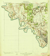
1936 · West Brownsville
USGS Topo · 1:31,680
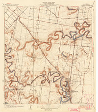
1936 · Barreda
USGS Topo · 1:31,680

1936 · Santa Maria
USGS Topo · 1:31,680
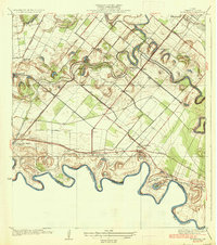
1936 · La Paloma
USGS Topo · 1:31,680
1945 · Olmito
USGS Topo · 1:31,680

1953 · Brownsville
USGS Topo · 1:250,000