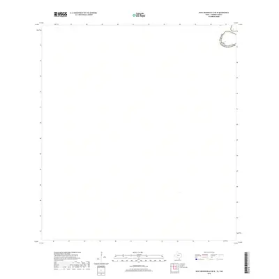
2019 Map of West Brownsville OE W
USGS Topo · Published 2019About this map
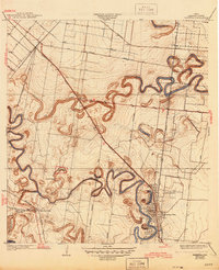
The Rio Grande defines the landscape of this southern border region in 2019, where it forms the international boundary between the Usa and Estados Unidos Mexicanos. This specific map section focuses on a bend in the river southeast of the Cameron County interior, illustrating the path of the watercourse as it separates Texas from Tamaulipas. The lack of land-based features on the American side of this specific quadrangle emphasizes the undeveloped, rural nature of the riverbanks at this point in the twenty-first century. For those researching the geography of the international boundary, the sheet provides a precise record of the river's alignment and the demarcated line between the two nations.
Find a feature on this map
3 named features on this map. Tap any name to fly to it.
Don’t see what you’re looking for? This feature index may not catch every label — zoom into the map to look around manually.
Map Details
Editions of this 2019 West Brownsville OE W Map
This is the sole edition of this map. No revisions or reprints were ever made.
Other maps of this area

1929 · Santa Maria
USGS Topo · 1:24,000

1929 · La Paloma
USGS Topo · 1:24,000

1930 · West Brownsville
USGS Topo · 1:24,000

1930 · Barreda
USGS Topo · 1:24,000
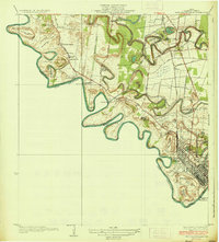
1936 · West Brownsville
USGS Topo · 1:31,680
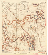
1936 · Barreda
USGS Topo · 1:31,680

1936 · Santa Maria
USGS Topo · 1:31,680
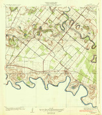
1936 · La Paloma
USGS Topo · 1:31,680
1945 · Olmito
USGS Topo · 1:31,680

1953 · Brownsville
USGS Topo · 1:250,000