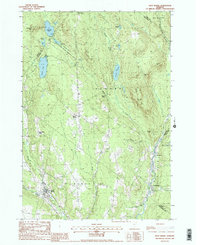
1988 Map of West Burke
USGS Topo · Published 1988About this map
West Burke and the surrounding township of Newark anchor this topographic survey of the Vermont highlands during the late 1980s. The landscape is defined by its varied water bodies and protected lands, including the Bald Hill Wildlife Management Area and portions of Willoughby State Forest. Smaller settlements like Newark Street, East Haven, and Hartwellville are situated along the drainage of the West Branch Passumpsic River and its many tributaries. The area's relief is punctuated by several prominent peaks, notably Packer Mtn, Walker Mtn, and McSherry Mtn, while several isolated ponds such as Center Pond and Newark Pond occupy the upland basins. Local landmarks include a Gaging Station and several marked cemetery sites, providing fine-grained details for local genealogists and land researchers examining the intersection of the Orleans and Caledonia county lines.
Find a feature on this map
37 named features on this map. Tap any name to fly to it.
Don’t see what you’re looking for? This feature index may not catch every label — zoom into the map to look around manually.
Map Details
Editions of this 1988 West Burke Map
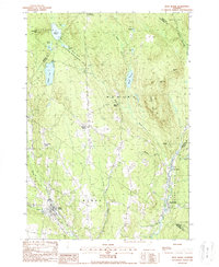
2 editions found
Other maps of this area

1919 · Lake Memphremagog
USGS Topo · 1:62,500

1920 · Derby
USGS Topo · 1:62,500

1923 · Lake Memphremagog
USGS Topo · 1:48,000

1924 · Island Pond
USGS Topo · 1:48,000

1925 · Memphremagog
USGS Topo · 1:62,500

1926 · Island Pond
USGS Topo · 1:62,500

1935 · Lyndonville
USGS Topo · 1:48,000

1939 · Lyndonville
USGS Topo · 1:62,500

1950 · Lake Champlain
USGS Topo · 1:250,000

1950 · Lewiston
USGS Topo · 1:250,000