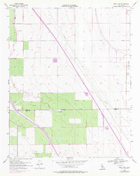
1954 Map of West Camp
USGS Topo · Published 1976About this map
West Camp serves as the focal point of this industrial and agricultural landscape situated along the Kings and Kern County line. The terrain is defined by a systematic grid of section lines, where human infrastructure has been imposed upon the natural geography of the San Joaquin Valley. Key features like the Sand Ridge break the otherwise level contours, while a network of Pipe Lines and a prominent Levee indicate the region's managed water and resource distribution. The presence of an Oil Well and Oil Tank in the southwestern quadrant points to the emergence of petroleum extraction during this era, a shift from the purely agricultural roots of the surrounding valley floor. Researchers will note the concentration of Water Tanks and a Windmill, essential markers for early 20th-century life and industry in this arid environment.
Find a feature on this map
10 named features on this map. Tap any name to fly to it.
Don’t see what you’re looking for? This feature index may not catch every label — zoom into the map to look around manually.
Map Details
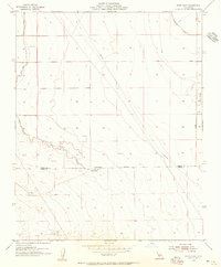
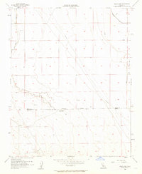
Editions of this 1954 West Camp Map
3 editions found
Other maps of this area

1914 · Lost Hills
USGS Topo · 1:125,000

1930 · Avenal Gap
USGS Topo · 1:31,680

1930 · Middle Dome
USGS Topo · 1:31,680

1931 · Harvester
USGS Topo · 1:31,680

1932 · Dudley Ridge
USGS Topo · 1:31,680

1932 · Antelope Plain
USGS Topo · 1:31,680

1932 · Reynolds Ranch
USGS Topo · 1:31,680

1932 · West Camp
USGS Topo · 1:31,680

1932 · Lone Tree Well
USGS Topo · 1:31,680

1933 · Avenal Gap
USGS Topo · 1:31,680