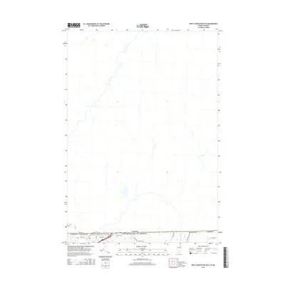
2015 Map of West Charleston OE N
USGS Topo · Published 2015About this map
The international boundary between Canada and the United States forms the lower southern margin of this Vermont landscape in Orleans County. The terrain is characterized by the winding path of Stearns Brook and a network of rural thoroughfares such as Tree Farm Rd and Prairie Rd. Genealogists and local historians will find significant value in the documentation of several family and community burial sites clustered near the border, including the Derby Line Cem, Fortin Cem, and the Cowles-Chace Cem. Residential and agricultural patterns are evidenced by the local road grid, with named ways like Bakter Ave and Caswell Ave providing a detailed view of the settlement layout at the northern edge of Vermont.
Find a feature on this map
14 named features on this map. Tap any name to fly to it.
Don’t see what you’re looking for? This feature index may not catch every label — zoom into the map to look around manually.
Map Details
Editions of this 2015 West Charleston OE N Map
This is the sole edition of this map. No revisions or reprints were ever made.
Other maps of this area

1919 · Lake Memphremagog
USGS Topo · 1:62,500

1920 · Derby
USGS Topo · 1:62,500

1923 · Lake Memphremagog
USGS Topo · 1:48,000

1924 · Island Pond
USGS Topo · 1:48,000

1925 · Memphremagog
USGS Topo · 1:62,500

1926 · Island Pond
USGS Topo · 1:62,500

1949 · Jackman
USGS Topo · 1:250,000

1950 · Lake Champlain
USGS Topo · 1:250,000

1950 · Lewiston
USGS Topo · 1:250,000

1953 · Island Pond
USGS Topo · 1:62,500