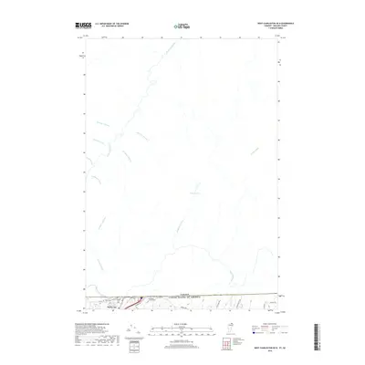
2018 Map of West Charleston OE N
USGS Topo · Published 2018About this map
The Canada-United States border defines the southern edge of this map, where the settlement of Derby Line sits directly against the international boundary. This area is characterized by the complex drainage basin of the Rivière Tomifobia, which flows through a landscape marked by numerous named tributaries including Ruisseau Ticehurst, Ruisseau Pinkham, and Ruisseau Laflamme. The prominence of French-named watercourses such as Ruisseau Dustin and Ruisseau Pomeroy reflects the cultural geography of this borderland region near Quebec. Local history is anchored by several burial grounds near the border, including the Derby Line Cem, Fortin Cem, and Cowles Chace Cem. Further north, the terrain features larger water bodies like Étang Peasley, illustrating the wet, wooded character of the countryside before the brooks converge and flow northward into Canada.
Find a feature on this map
31 named features on this map. Tap any name to fly to it.
Don’t see what you’re looking for? This feature index may not catch every label — zoom into the map to look around manually.
Map Details
Editions of this 2018 West Charleston OE N Map
This is the sole edition of this map. No revisions or reprints were ever made.
Other maps of this area

1919 · Lake Memphremagog
USGS Topo · 1:62,500

1920 · Derby
USGS Topo · 1:62,500

1923 · Lake Memphremagog
USGS Topo · 1:48,000

1924 · Island Pond
USGS Topo · 1:48,000

1925 · Memphremagog
USGS Topo · 1:62,500

1926 · Island Pond
USGS Topo · 1:62,500

1949 · Jackman
USGS Topo · 1:250,000

1950 · Lake Champlain
USGS Topo · 1:250,000

1950 · Lewiston
USGS Topo · 1:250,000

1953 · Island Pond
USGS Topo · 1:62,500