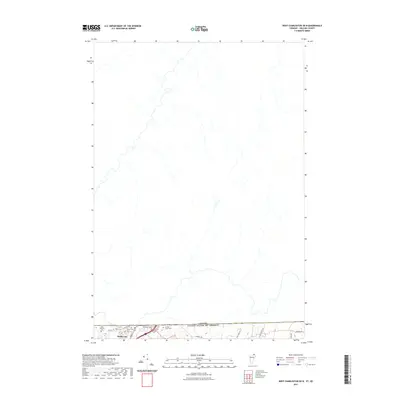
2021 Map of West Charleston OE N
USGS Topo · Published 2021About this map
Derby Line sits directly on the northern edge of this map, marking the border between the United States and Canada. This unique international boundary cuts through the local landscape, where the southern portion of the village is defined by a cluster of civic and spiritual sites. Genealogists and local historians can locate several resting places near the line, including Saint Edwards Cem, Fortin Cem, and the Derby Line Cem.
Find a feature on this map
17 named features on this map. Tap any name to fly to it.
Don’t see what you’re looking for? This feature index may not catch every label — zoom into the map to look around manually.
Map Details
Editions of this 2021 West Charleston OE N Map
This is the sole edition of this map. No revisions or reprints were ever made.
Other maps of this area

1919 · Lake Memphremagog
USGS Topo · 1:62,500

1920 · Derby
USGS Topo · 1:62,500

1923 · Lake Memphremagog
USGS Topo · 1:48,000

1924 · Island Pond
USGS Topo · 1:48,000

1925 · Memphremagog
USGS Topo · 1:62,500

1926 · Island Pond
USGS Topo · 1:62,500

1949 · Jackman
USGS Topo · 1:250,000

1950 · Lake Champlain
USGS Topo · 1:250,000

1950 · Lewiston
USGS Topo · 1:250,000

1953 · Island Pond
USGS Topo · 1:62,500