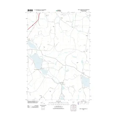
2012 Map of West Charleston
USGS Topo · Published 2012About this map
Lake Salem and the surrounding highlands of Orleans County define this landscape, where the Clyde River flows through the village of West Charleston. The area is characterized by numerous small family and community burial grounds, including the Tice-Marston Moon Cem and Crawford Hill Cem, which offer significant touchpoints for genealogical research. The map captures the northern Vermont countryside before significant modern development, showing the established rural road network connecting the hamlets of Tice, Holland, and Morgan. Recreational landmarks such as Meadow Brook Girl Scout Camp and Char-go Campground emphasize the region's long-standing connection to seasonal lakeside life. From the heights of Bates Hill to the shores of Seymour Lake, the survey documents a mix of agricultural valley land and forested hillsides at the start of the 2010s.
Find a feature on this map
112 named features on this map. Tap any name to fly to it.
Don’t see what you’re looking for? This feature index may not catch every label — zoom into the map to look around manually.
Map Details
Editions of this 2012 West Charleston Map
This is the sole edition of this map. No revisions or reprints were ever made.
Other maps of this area

1919 · Lake Memphremagog
USGS Topo · 1:62,500

1920 · Derby
USGS Topo · 1:62,500

1923 · Lake Memphremagog
USGS Topo · 1:48,000

1924 · Island Pond
USGS Topo · 1:48,000

1925 · Memphremagog
USGS Topo · 1:62,500

1926 · Island Pond
USGS Topo · 1:62,500

1949 · Jackman
USGS Topo · 1:250,000

1950 · Lake Champlain
USGS Topo · 1:250,000

1950 · Lewiston
USGS Topo · 1:250,000

1953 · Island Pond
USGS Topo · 1:62,500