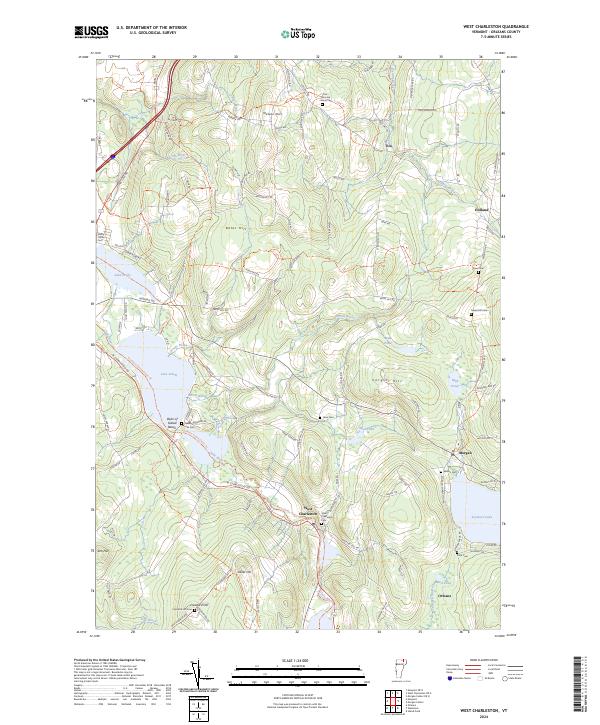
2024 Map of West Charleston
USGS Topo · Published 2024About this map
West Charleston and its surrounding countryside are defined by a network of glacial lakes and small river valleys in Orleans County. The Clyde River winds through the landscape, connecting Lake Salem with the smaller water bodies that dot the region. Settlement patterns follow the topography, with villages like Morgan and Holland situated near significant heights such as Cargill Hill and Bates Hill. The map reveals a high density of small family and community burial grounds, including the Marston - Moon Cem and Mead Hill Cem, which offer significant genealogical value for researchers of the area's early farmsteads.
Find a feature on this map
108 named features on this map. Tap any name to fly to it.
Don’t see what you’re looking for? This feature index may not catch every label — zoom into the map to look around manually.
Map Details
Editions of this 2024 West Charleston Map
This is the sole edition of this map. No revisions or reprints were ever made.
Other maps of this area

1919 · Lake Memphremagog
USGS Topo · 1:62,500

1920 · Derby
USGS Topo · 1:62,500

1923 · Lake Memphremagog
USGS Topo · 1:48,000

1924 · Island Pond
USGS Topo · 1:48,000

1925 · Memphremagog
USGS Topo · 1:62,500

1926 · Island Pond
USGS Topo · 1:62,500

1949 · Jackman
USGS Topo · 1:250,000

1950 · Lake Champlain
USGS Topo · 1:250,000

1950 · Lewiston
USGS Topo · 1:250,000

1953 · Island Pond
USGS Topo · 1:62,500