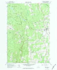
1966 Map of West Chazy
USGS Topo · Published 1968About this map
The Little Chazy River flows through the northeast corner of Clinton County, anchoring the village of West Chazy during the mid-1960s. This survey illustrates a rural landscape where agriculture and forestry meet, highlighted by the extensive boundaries of the Clinton State Forest and the Lake Alice State Game Management Area. The eastern corridor is defined by the Delaware and Hudson railroad and a network of local roads such as Slosson Road and Parker Road.
Find a feature on this map
57 named features on this map. Tap any name to fly to it.
Don’t see what you’re looking for? This feature index may not catch every label — zoom into the map to look around manually.
Map Details
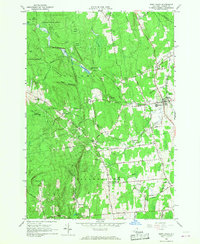
Editions of this 1966 West Chazy Map
2 editions found
Other maps of this area

1894 · Plattsburg
USGS Topo · 1:62,500

1895 · Mooers
USGS Topo · 1:62,500

1895 · Rouse Point
USGS Topo · 1:62,500

1899 · Mooers
USGS Topo · 1:62,500

1906 · Plattsburg
USGS Topo · 1:62,500

1907 · Rouse Point
USGS Topo · 1:62,500

1913 · Dannemora
USGS Topo · 1:62,500

1939 · Rouses Point
USGS Topo · 1:62,500

1939 · Plattsburg
USGS Topo · 1:62,500

1941 · Plattsburg
USGS Topo · 1:62,500