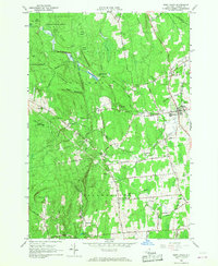
1966 Map of West Chazy
USGS Topo · Published 1984About this map
West Chazy sits at the eastern edge of this landscape, where the Delaware and Hudson Railroad runs parallel to the Little Chary River. The map reveals a transition from the agricultural lowlands of the Chazy and Beekmantown townships into the wooded slopes of Clinton State Forest. Notable for local history and genealogy, the sheet captures small clusters of settlement such as West Beekmantown, Beartown, and Robinson, each connected by a network of local roads like Military Turnpike and Old Military Road. In the west, the terrain rises toward Rand Hill and Pine Ridge, characterized by prominent features like Cobblestone Hill and the depression known as The Basin. Numerous cemeteries, including West Chazy Rural Cem and Stone Cem, are clearly marked, alongside the unique Church Campground near the village, reflecting the area's community structure in the mid-1960s.
Find a feature on this map
55 named features on this map. Tap any name to fly to it.
Don’t see what you’re looking for? This feature index may not catch every label — zoom into the map to look around manually.
Map Details
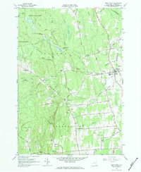
Editions of this 1966 West Chazy Map
2 editions found
Other maps of this area

1894 · Plattsburg
USGS Topo · 1:62,500

1895 · Mooers
USGS Topo · 1:62,500

1895 · Rouse Point
USGS Topo · 1:62,500

1899 · Mooers
USGS Topo · 1:62,500

1906 · Plattsburg
USGS Topo · 1:62,500

1907 · Rouse Point
USGS Topo · 1:62,500

1913 · Dannemora
USGS Topo · 1:62,500

1939 · Rouses Point
USGS Topo · 1:62,500

1939 · Plattsburg
USGS Topo · 1:62,500

1941 · Plattsburg
USGS Topo · 1:62,500