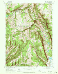
1969 Map of West Danby
USGS Topo · Published 1971About this map
The West Branch Cayuga Inlet carves a deep valley through this Southern Tier landscape, anchoring a corridor of historical development at the close of the 1960s. The Lehigh Valley railroad line follows this natural grade, connecting settlements like West Danby and Newfield Station. To the north, the village of Newfield serves as a local hub, featuring the Newfield Central School and several residential streets.
Find a feature on this map
60 named features on this map. Tap any name to fly to it.
Don’t see what you’re looking for? This feature index may not catch every label — zoom into the map to look around manually.
Map Details
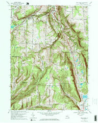
Editions of this 1969 West Danby Map
2 editions found
Other maps of this area

1893 · Ithaca
USGS Topo · 1:62,500

1895 · Ithaca
USGS Topo · 1:62,500

1900 · Dryden
USGS Topo · 1:62,500

1902 · Waverly
USGS Topo · 1:62,500

1903 · Owego
USGS Topo · 1:62,500

1905 · Watkins Glen
USGS Topo · 1:125,000

1906 · Catatonk
USGS Topo · 1:125,000

1949 · Ithaca West
USGS Topo · 1:24,000

1949 · Ithaca East
USGS Topo · 1:24,000

1949 · Willseyville
USGS Topo · 1:24,000