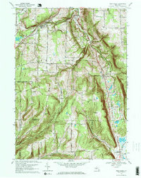
1969 Map of West Danby
USGS Topo · Published 1971About this map
Newfield serves as the primary hub in this corner of the Southern Tier, where the Newfield Central Sch and Woodlawn Cem anchor a community defined by its complex topography. The landscape is carved by the Cayuga Inlet and its tributaries, including Chaffee Creek and McDuffy Creek, creating a series of prominent rises such as Benjamin Hill and Seely Hill. To the east, the Lehigh Valley railroad cuts a straight path through the valley floor, connecting the settlements of Newfield Station, West Danby, and North Spencer. This rail corridor, running parallel to the edge of the Danby State Forest, illustrates the historical reliance on low-lying glacial valleys for transportation. Smaller hamlets and rural junctions like Kellogg Corners and Protts are scattered throughout the highlands, often marked by local landmarks like the North Van Etten Ch or the Sebring Cem.
Find a feature on this map
76 named features on this map. Tap any name to fly to it.
Don’t see what you’re looking for? This feature index may not catch every label — zoom into the map to look around manually.
Map Details
Editions of this 1969 West Danby Map
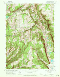
2 editions found
Other maps of this area

1893 · Ithaca
USGS Topo · 1:62,500

1895 · Ithaca
USGS Topo · 1:62,500

1900 · Dryden
USGS Topo · 1:62,500

1902 · Waverly
USGS Topo · 1:62,500

1903 · Owego
USGS Topo · 1:62,500

1905 · Watkins Glen
USGS Topo · 1:125,000

1906 · Catatonk
USGS Topo · 1:125,000

1949 · Ithaca West
USGS Topo · 1:24,000

1949 · Ithaca East
USGS Topo · 1:24,000

1949 · Willseyville
USGS Topo · 1:24,000