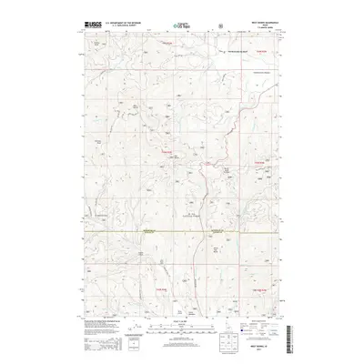
2014 Map of West Dennis
USGS Topo · Published 2014About this map
St. Joe National Forest dominates this section of the Idaho panhandle, where the high ridges of West Dennis and East Dennis rise above a complex network of mountain drainages. The landscape is defined by its topographic extremes, from the heights of Charles Butte and Fairview Knob down to the recessed floors of Bedrock Gulch and Cabin Gulch. This 2014 survey documents the area's dual role as a timber resource and recreational destination, evidenced by the North-South Ski Bowl and primitive sites like Cedar Grove Camp.
Find a feature on this map
90 named features on this map. Tap any name to fly to it.
Don’t see what you’re looking for? This feature index may not catch every label — zoom into the map to look around manually.
Map Details
Editions of this 2014 West Dennis Map
This is the sole edition of this map. No revisions or reprints were ever made.
Other maps of this area

1955 · Pullman
USGS Topo · 1:250,000

1955 · Spokane
USGS Topo · 1:250,000

1957 · Emida
USGS Topo · 1:62,500

1957 · Tensed
USGS Topo · 1:62,500

1958 · Spokane
USGS Topo · 1:250,000

1958 · Pullman
USGS Topo · 1:250,000

1960 · Potlatch
USGS Topo · 1:62,500

1961 · Deary
USGS Topo · 1:62,500

1981 · St Maries
USGS Topo · 1:100,000

1981 · Potlatch
USGS Topo · 1:100,000