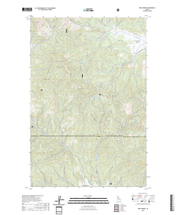
2024 Map of West Dennis
USGS Topo · Published 2024About this map
The St. Joe National Forest dominates the landscape across the boundary of Benewah and Latah counties. The topography is defined by significant elevations such as Dennis Mountain and Fairview Knob, where a network of forest development roads, including Nat For Dev Rd 377 and Nat For Dev Rd 1976, navigate the timbered drainages. Small settlements like West Dennis and East Dennis are situated amidst a complex watershed of the Santa Creek and Manning Creek systems. A unique recreational landmark, the North-South Ski Bowl, is positioned on the eastern slopes, indicating the area's transition into a mountain sports destination. To the south, Smith Meadows and the uniquely named Chetche'mch'm Meadow provide clearings within the heavy forest cover, while numerous named gulches like Bedrock Gulch and Cabin Gulch hint at the rugged drainage patterns and historical land use of the Idaho panhandle.
Find a feature on this map
51 named features on this map. Tap any name to fly to it.
Don’t see what you’re looking for? This feature index may not catch every label — zoom into the map to look around manually.
Map Details
Editions of this 2024 West Dennis Map
This is the sole edition of this map. No revisions or reprints were ever made.
Other maps of this area

1955 · Pullman
USGS Topo · 1:250,000

1955 · Spokane
USGS Topo · 1:250,000

1957 · Emida
USGS Topo · 1:62,500

1957 · Tensed
USGS Topo · 1:62,500

1958 · Spokane
USGS Topo · 1:250,000

1958 · Pullman
USGS Topo · 1:250,000

1960 · Potlatch
USGS Topo · 1:62,500

1961 · Deary
USGS Topo · 1:62,500

1981 · St Maries
USGS Topo · 1:100,000

1981 · Potlatch
USGS Topo · 1:100,000