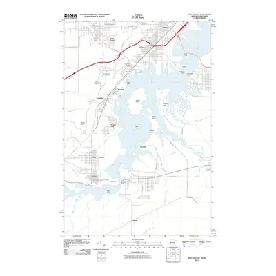
2010 Map of West Duluth
USGS Topo · Published 2010About this map
Morgan Park and the industrial residential corridors of Steelton and Gary anchor this study of the lower Saint Louis River estuary. The map details a complex landscape where heavy infrastructure meets preserved recreational space, from the Proctor Speedway/Fairgrounds in the north to the sprawling wetlands around Clough Island. Local history is visible in the transition between the established city grid of West Duluth and the outlying communities like Smithville and New Duluth.
Find a feature on this map
71 named features on this map. Tap any name to fly to it.
Don’t see what you’re looking for? This feature index may not catch every label — zoom into the map to look around manually.
Map Details
Editions of this 2010 West Duluth Map
This is the sole edition of this map. No revisions or reprints were ever made.
Other maps of this area

1895 · Duluth
USGS Topo · 1:62,500

1915 · Superior
USGS Topo · 1:48,000

1917 · Superior
USGS Topo · 1:62,500

1953 · Adolph
USGS Topo · 1:24,000

1953 · Duluth
USGS Topo · 1:24,000

1953 · Duluth Heights
USGS Topo · 1:24,000

1953 · Duluth
USGS Topo · 1:62,500

1953 · Duluth
USGS Topo · 1:250,000

1954 · West Duluth
USGS Topo · 1:24,000

1954 · Borea
USGS Topo · 1:24,000