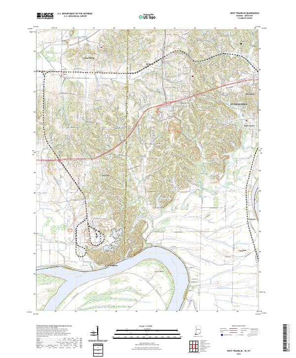
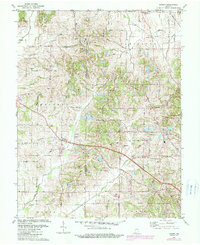
2022 Map of West Franklin
USGS Topo · Published 2022About this map
The Ohio River forms a sweeping southern curve at Cypress Bend, defining the border between Indiana and Kentucky in this survey of southwestern Vanderburgh and Posey counties. The landscape is characterized by a complex network of agricultural drainage and lowland water features, including Deep Slough, Slim Bond Slough, and Cypress Slough. Scattered throughout these bottomlands are rural communities like West Franklin and Vaughan, while further north, the terrain transitions into the residential and academic outskirts of Evansville. This area is notable for the presence of the University of Southern Indiana, which overlooks Indiana State University Lake. Local history is preserved in small settlements such as Saint Philip, Heusler, and Belknap, alongside family-named landmarks like Tupman Cem and the various ditches, such as Edmond Ditch and Barnett Ditch, that have long managed the river's influence on the surrounding farmland.
Find a feature on this map
83 named features on this map. Tap any name to fly to it.
Don’t see what you’re looking for? This feature index may not catch every label — zoom into the map to look around manually.
Map Details
Editions of this 2022 West Franklin Map
This is the sole edition of this map. No revisions or reprints were ever made.
Historical Maps of Vaughan Through Time
13 maps found
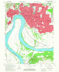
1957 Evansville South
Vanderburgh County, IN
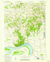
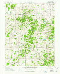
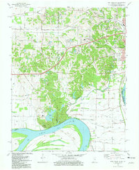
1957 West Franklin
Vanderburgh County, IN
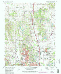
1961 Evansville North
Vanderburgh County, IN
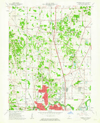
1961 Kasson
Vanderburgh County, IN
1981 Evansville North
Vanderburgh County, IN
1981 Evansville South
Vanderburgh County, IN
1981 Kasson
Vanderburgh County, IN
1981 West Franklin
Vanderburgh County, IN
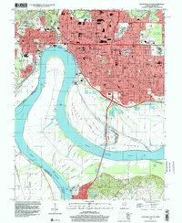
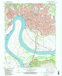
1999 Evansville South
Vanderburgh County, IN
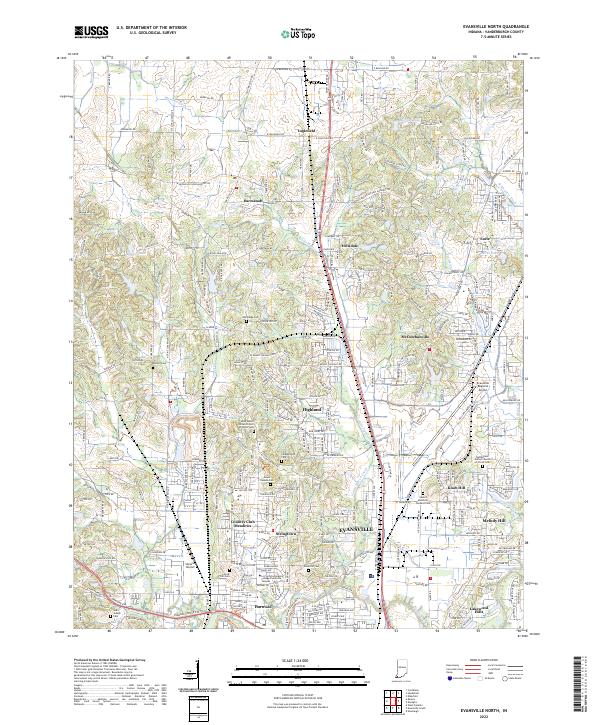
2022 Evansville North
Vanderburgh County, IN
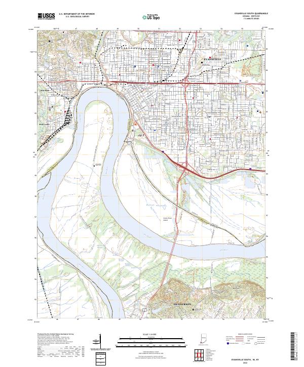
2022 Evansville South
Vanderburgh County, IN
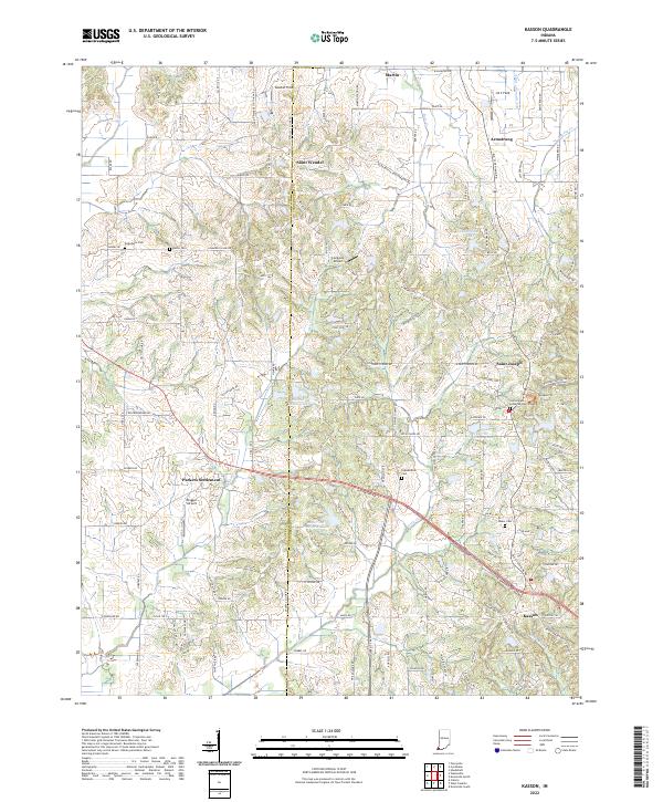
2022 Kasson
Vanderburgh County, IN
2022 West Franklin
Vanderburgh County, IN