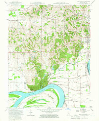
1957 Map of West Franklin
USGS Topo · Published 1959About this map
The Ohio River dominates the southern landscape of this 1957 survey, carving the massive Cypress Bend and sheltering the large Diamond Island. This riverine environment is defined by complex drainage patterns, including the Cypress Slough, Big Pond, and a network of agricultural ditches like Union Ditch and Edmond Ditch that crisscross the lowlands. Higher ground to the north reveals a transition to established rural communities and crossroads, notably St Philip and Heusler. The presence of several country schools such as Lawrence Sch and Martin Sch, alongside numerous churches like St Pauls Ch and St Marks Ch, indicates a settled, family-oriented agricultural region. At the river's edge, the small settlement of West Franklin serves as a historical focal point, while the expansive grounds of Boehne Hospital sit on the eastern periphery near the Perry Heights Sch.
Find a feature on this map
75 named features on this map. Tap any name to fly to it.
Don’t see what you’re looking for? This feature index may not catch every label — zoom into the map to look around manually.
Map Details
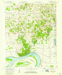
Editions of this 1957 West Franklin Map
2 editions found
Other maps of this area

1901 · Haubstadt
USGS Topo · 1:62,500

1903 · Haubstadt
USGS Topo · 1:62,500

1903 · New Harmony
USGS Topo · 1:62,500

1903 · Patoka
USGS Topo · 1:125,000

1914 · Henderson
USGS Topo · 1:48,000

1916 · Henderson
USGS Topo · 1:62,500

1917 · Uniontown
USGS Topo · 1:62,500

1938 · New Harmony
USGS Topo · 1:62,500

1952 · Evansville
USGS Topo · 1:24,000
1952 · Henderson
USGS Topo · 1:24,000