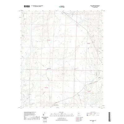
2020 Map of West Greene
USGS Topo · Published 2020About this map
West Greene sits at the center of this rural Greene County landscape, where the headwaters of numerous small tributaries form a complex drainage pattern across the coastal plain. The community of Clinton occupies the southeastern corner, connected to the surrounding countryside by Clinton Rd and AL Highway 14. The map is particularly notable for its density of family and community burial grounds, documenting the generational settlement of the area.
Find a feature on this map
56 named features on this map. Tap any name to fly to it.
Don’t see what you’re looking for? This feature index may not catch every label — zoom into the map to look around manually.
Map Details
Editions of this 2020 West Greene Map
This is the sole edition of this map. No revisions or reprints were ever made.
Other maps of this area

1927 · Eutaw
USGS Topo · 1:48,000

1931 · Eutaw
USGS Topo · 1:62,500

1953 · Montgomery
USGS Topo · 1:250,000

1953 · Birmingham
USGS Topo · 1:250,000

1953 · Meridian
USGS Topo · 1:250,000

1953 · West Point
USGS Topo · 1:250,000

1956 · Birmingham
USGS Topo · 1:250,000

1956 · Montgomery
USGS Topo · 1:250,000

1957 · Birmingham
USGS Topo · 1:250,000

1957 · Meridian
USGS Topo · 1:250,000