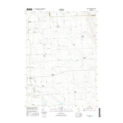
2016 Map of West Groton
USGS Topo · Published 2016About this map
Lansing and West Dryden anchor this central New York landscape, where a dense network of country roads connects a series of traditional crossroads settlements. The terrain is defined by the high ground of Lobdell Hill and Bean Hill, with drainage provided by the Owasco Inlet in the northeast and several creeks including Locke Cr, Hemlock Cr, and Mill Cr. The map is particularly notable for its concentration of family and community burial grounds, such as the Miller Cem, Stearns Cem, and Lanterman Cem, which offer significant value for genealogical research in this part of Tompkins County. The persistence of names like Howland Corners, Terpening Corners, and Mosher Corners indicates a settlement pattern rooted in early landownership. Large natural features like Bear Swamp remain prominent, providing a counterpoint to the agricultural and residential development along thoroughfares like Wickham Rd and Bone Plain Rd.
Find a feature on this map
109 named features on this map. Tap any name to fly to it.
Don’t see what you’re looking for? This feature index may not catch every label — zoom into the map to look around manually.
Map Details
Editions of this 2016 West Groton Map
This is the sole edition of this map. No revisions or reprints were ever made.
Other maps of this area

1893 · Ithaca
USGS Topo · 1:62,500

1895 · Ithaca
USGS Topo · 1:62,500

1898 · Moravia
USGS Topo · 1:62,500

1900 · Dryden
USGS Topo · 1:62,500

1902 · Moravia
USGS Topo · 1:62,500

1902 · Genoa
USGS Topo · 1:62,500

1905 · Watkins Glen
USGS Topo · 1:125,000

1906 · Catatonk
USGS Topo · 1:125,000

1942 · Ludlowville
USGS Topo · 1:24,000

1942 · Groton
USGS Topo · 1:24,000