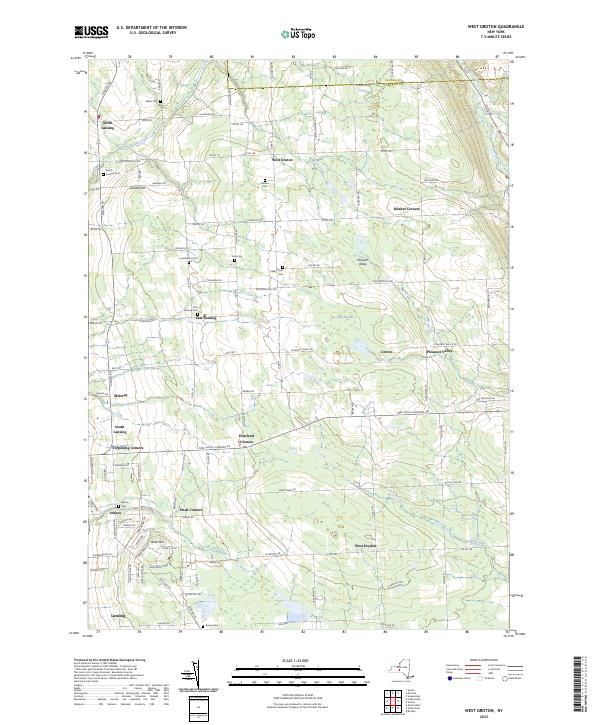
2023 Map of West Groton
USGS Topo · Published 2023About this map
Tompkins and Cayuga counties meet in this detailed survey of the rural landscape north of Ithaca. The region is defined by a dense network of crossroad settlements and family burial grounds, such as the Stearns Cem and Lanterman Cem, which anchor the history of the local farming community. These small hamlets, including Mosher Corners and Grotto, are connected by a grid of county roads that navigate the complex drainage patterns of Locke Creek and Hemlock Creek.
Find a feature on this map
114 named features on this map. Tap any name to fly to it.
Don’t see what you’re looking for? This feature index may not catch every label — zoom into the map to look around manually.
Map Details
Editions of this 2023 West Groton Map
This is the sole edition of this map. No revisions or reprints were ever made.
Other maps of this area

1893 · Ithaca
USGS Topo · 1:62,500

1895 · Ithaca
USGS Topo · 1:62,500

1898 · Moravia
USGS Topo · 1:62,500

1900 · Dryden
USGS Topo · 1:62,500

1902 · Moravia
USGS Topo · 1:62,500

1902 · Genoa
USGS Topo · 1:62,500

1905 · Watkins Glen
USGS Topo · 1:125,000

1906 · Catatonk
USGS Topo · 1:125,000

1942 · Ludlowville
USGS Topo · 1:24,000

1942 · Groton
USGS Topo · 1:24,000