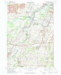
1971 Map of West Henrietta
USGS Topo · Published 1974About this map
The Genesee River snakes through this Monroe County landscape, serving as a primary corridor for transportation and land use in the early 1970s. The map illustrates a complex convergence of logistics and education, anchored by the sprawling modern campus of the Rochester Institute of Technology and the Rochester-Monroe Co Airport. Long-standing rail lines, including the Penn Central, Erie Lackawanna, and Lehigh Valley, crisscross the terrain, reflecting the area's role as a transit hub south of Rochester.
Find a feature on this map
62 named features on this map. Tap any name to fly to it.
Don’t see what you’re looking for? This feature index may not catch every label — zoom into the map to look around manually.
Map Details
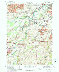
Editions of this 1971 West Henrietta Map
2 editions found
Other maps of this area

1895 · Rochester
USGS Topo · 1:62,500

1898 · Rochester
USGS Topo · 1:62,500

1899 · Brockport
USGS Topo · 1:62,500

1901 · Honeoye
USGS Topo · 1:62,500

1904 · Caledonia
USGS Topo · 1:62,500

1904 · Honeoye
USGS Topo · 1:62,500

1912 · Rochester
USGS Topo · 1:62,500

1920 · Rochester
USGS Topo · 1:62,500

1931 · Mendon Ponds
USGS Topo · 1:24,000

1931 · Rochester West
USGS Topo · 1:24,000