
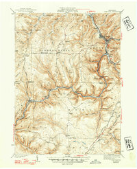
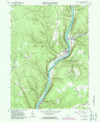
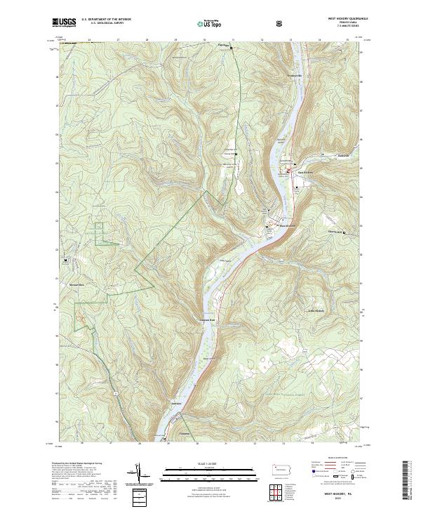
1997 Map of West Hickory
USGS Topo · Published 2000About this map
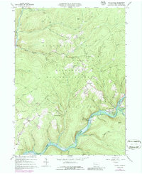
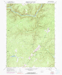
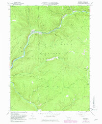
The Allegheny River defines the heart of this Forest County landscape, winding past a series of river islands and distinct local settlements. In this late 20th-century survey, the valley floor accommodates the twin towns of West Hickory and East Hickory, while smaller locales like Trunkeyville and Fagundus occupy the surrounding highlands. The map illustrates a region defined by public lands and industrial history, with the Allegheny National Forest and Cornplanter State Forest blanketing much of the terrain.
Find a feature on this map
53 named features on this map. Tap any name to fly to it.
Don’t see what you’re looking for? This feature index may not catch every label — zoom into the map to look around manually.
Map Details
Editions of this 1997 West Hickory Map
This is the sole edition of this map. No revisions or reprints were ever made.
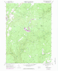
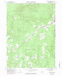
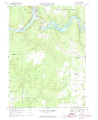
Historical Maps of Tionesta Through Time
18 maps found

1918 Loleta
Forest County, PA

1935 Sheffield
Forest County, PA
1941 Sheffield
Forest County, PA
1966 Kellettville
Forest County, PA
1966 Lynch
Forest County, PA
1966 Mayburg
Forest County, PA
1966 West Hickory
Forest County, PA
1967 Marienville East
Forest County, PA
1967 Marienville West
Forest County, PA
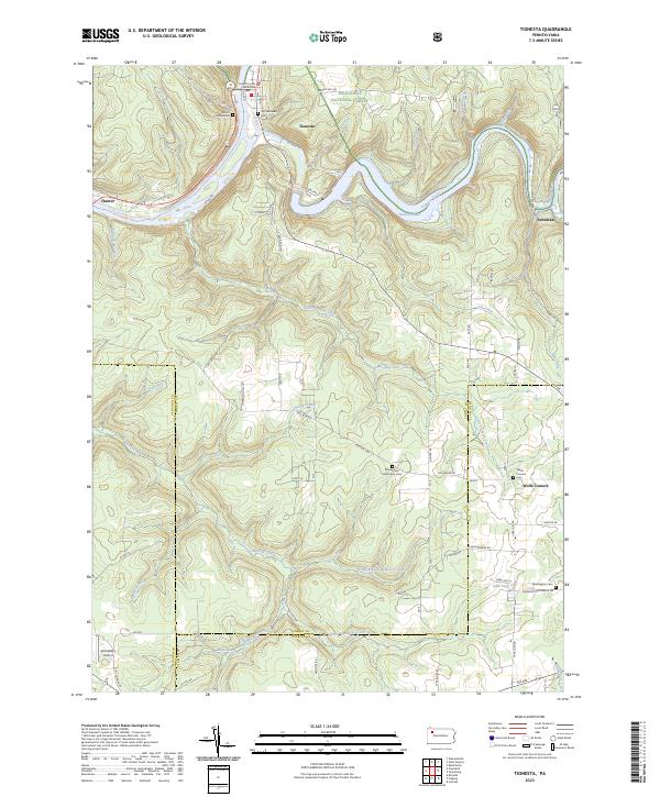
1967 Tionesta
Forest County, PA
1997 West Hickory
Forest County, PA
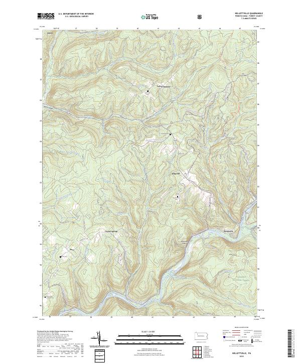
2023 Kellettville
Forest County, PA
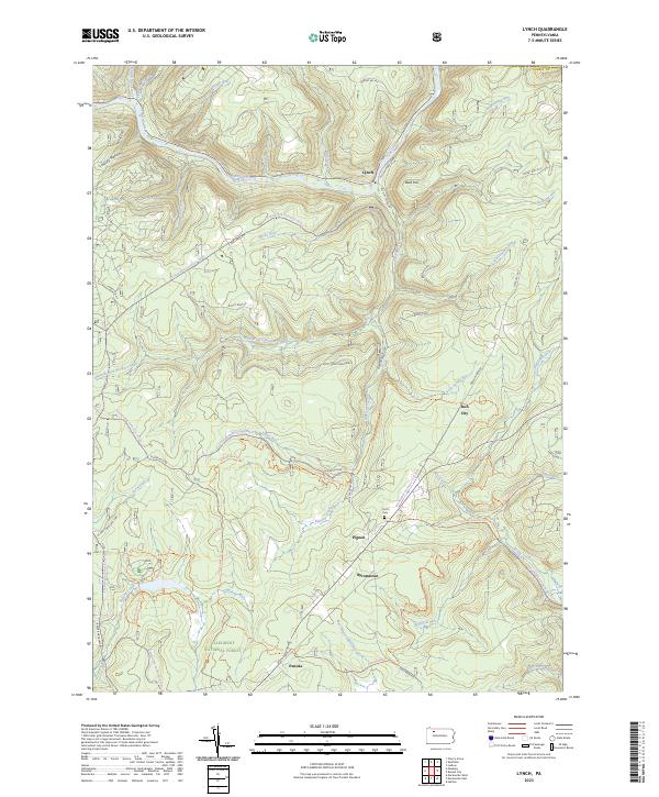
2023 Lynch
Forest County, PA
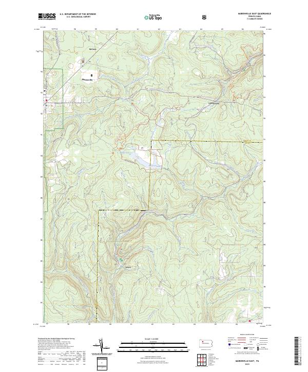
2023 Marienville East
Forest County, PA

2023 Marienville West
Forest County, PA
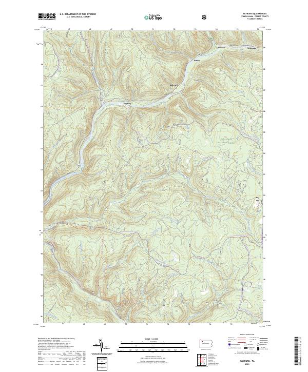
2023 Mayburg
Forest County, PA
2023 Tionesta
Forest County, PA
2023 West Hickory
Forest County, PA