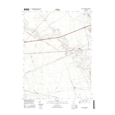
2016 Map of West Jefferson
USGS Topo · Published 2016About this map
Little Darby Creek meanders across this Madison County landscape, defining the topography between the village of West Jefferson and the smaller settlements of Gillivan and Lilly Chapel. The map reveals a land structured by historical transport corridors like the National Pike and the Urbana-West Jefferson Rd, which intersect the agricultural grid. Genealogists will find a high density of burial sites throughout the region, including Pleasant Hill Cem, Mount Calvary Cem, and the remote Foster Chapel Cem near the Franklin County line. Water management is a prominent theme here, evidenced by the extensive network of drainage features such as Monroe Bidwell Ditch, Bridenstine Ditch, and Kent Ditch, which support the productive farmlands surrounding the town centers.
Find a feature on this map
74 named features on this map. Tap any name to fly to it.
Don’t see what you’re looking for? This feature index may not catch every label — zoom into the map to look around manually.
Map Details
Editions of this 2016 West Jefferson Map
This is the sole edition of this map. No revisions or reprints were ever made.
Other maps of this area

1901 · Dublin
USGS Topo · 1:62,500

1903 · Dublin
USGS Topo · 1:62,500

1907 · London
USGS Topo · 1:62,500

1916 · Milford Center
USGS Topo · 1:62,500

1923 · West Columbus
USGS Topo · 1:62,500

1925 · West Columbus
USGS Topo · 1:62,500

1944 · Milford Center
USGS Topo · 1:62,500

1947 · Columbus
USGS Topo · 1:250,000

1950 · Marion
USGS Topo · 1:250,000
1954 · Hilliard
USGS Topo · 1:24,000