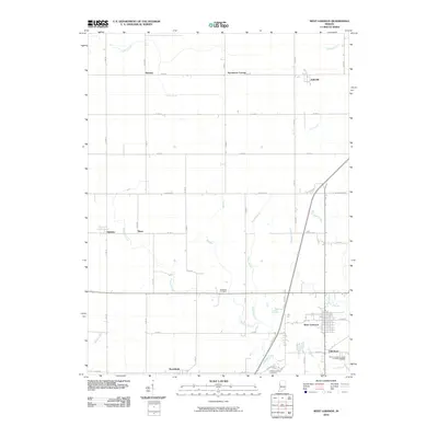
2010 Map of West Lebanon
USGS Topo · Published 2010About this map
West Lebanon and its original core at Old Town anchor this survey of western Warren County, Indiana, as it appeared in the early 21st century. The landscape is a testament to the grid-based agricultural development of the region, where a dense network of numbered roads such as N 900 W and Division Rd divide the territory into productive sections. Historically significant small settlements like Marshfield, Judyville, and Stewart are scattered across the plains, often associated with the local drainage systems of Redwood Creek and Foster Branch. For genealogists, the map identifies local burial sites including Redwood Cemetery and Shankland Hill Cemetery. The interplay between the established town centers and the rural outposts of Sloan and Hedrick reflects a long-standing Midwestern settlement pattern where small rail and road stops served as vital links for the farming community.
Find a feature on this map
49 named features on this map. Tap any name to fly to it.
Don’t see what you’re looking for? This feature index may not catch every label — zoom into the map to look around manually.
Map Details
Editions of this 2010 West Lebanon Map
This is the sole edition of this map. No revisions or reprints were ever made.
Other maps of this area

1899 · Danville
USGS Topo · 1:62,500

1900 · Danville
USGS Topo · 1:62,500

1933 · Hoopeston
USGS Topo · 1:48,000

1938 · Hoopeston
USGS Topo · 1:62,500

1950 · Danville NE
USGS Topo · 1:24,000

1951 · Danville NE
USGS Topo · 1:24,000

1953 · Danville
USGS Topo · 1:250,000

1955 · Danville
USGS Topo · 1:250,000

1956 · Danville
USGS Topo · 1:250,000

1958 · Stonebluff
USGS Topo · 1:24,000