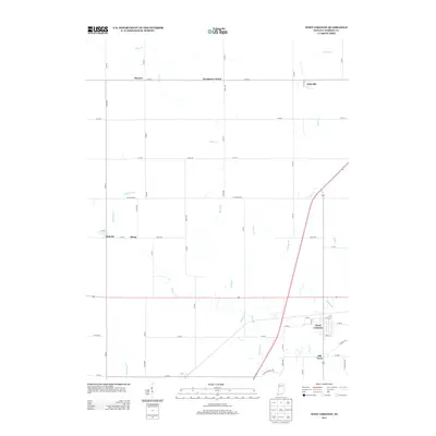
2013 Map of West Lebanon
USGS Topo · Published 2013About this map
West Lebanon and its neighboring area of Old Town anchor this agricultural landscape in Warren County. The regional settlement pattern is defined by small clusters and intersections like Sycamore Corner, Stewart, and Judyville in the north, while the western edge reaches the communities of Sloan and Hedrick. These rural centers are connected by a rigid grid of county roads that traverse a landscape deeply dissected by local watercourses.
Find a feature on this map
35 named features on this map. Tap any name to fly to it.
Don’t see what you’re looking for? This feature index may not catch every label — zoom into the map to look around manually.
Map Details
Editions of this 2013 West Lebanon Map
This is the sole edition of this map. No revisions or reprints were ever made.
Other maps of this area

1899 · Danville
USGS Topo · 1:62,500

1900 · Danville
USGS Topo · 1:62,500

1933 · Hoopeston
USGS Topo · 1:48,000

1938 · Hoopeston
USGS Topo · 1:62,500

1950 · Danville NE
USGS Topo · 1:24,000

1951 · Danville NE
USGS Topo · 1:24,000

1953 · Danville
USGS Topo · 1:250,000

1955 · Danville
USGS Topo · 1:250,000

1956 · Danville
USGS Topo · 1:250,000

1958 · Stonebluff
USGS Topo · 1:24,000