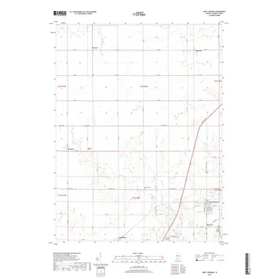
2019 Map of West Lebanon
USGS Topo · Published 2019About this map
West Lebanon and its original site at Old Town anchor this western Indiana landscape, where the agricultural grid is deeply etched by a branching drainage system. The township lines of t22n r9w and its neighbors organize a series of small rural settlements including Marshfield, Judyville, and Stewart. These communities are connected by a network of sectional roads like Division Rd and W State Rd 28, which navigate around the winding paths of Redwood Creek and its many tributaries such as Mud Run and Foster Br. Genealogists will find several small burial grounds preserved across the prairie, including Redwood Cem and Shanklin Hill Cem. The terrain is characterized by these subtle shifts between flat upland fields and the low-lying draws of Opossum Run and Fall Cr.
Find a feature on this map
44 named features on this map. Tap any name to fly to it.
Don’t see what you’re looking for? This feature index may not catch every label — zoom into the map to look around manually.
Map Details
Editions of this 2019 West Lebanon Map
This is the sole edition of this map. No revisions or reprints were ever made.
Other maps of this area

1899 · Danville
USGS Topo · 1:62,500

1900 · Danville
USGS Topo · 1:62,500

1933 · Hoopeston
USGS Topo · 1:48,000

1938 · Hoopeston
USGS Topo · 1:62,500

1950 · Danville NE
USGS Topo · 1:24,000

1951 · Danville NE
USGS Topo · 1:24,000

1953 · Danville
USGS Topo · 1:250,000

1955 · Danville
USGS Topo · 1:250,000

1956 · Danville
USGS Topo · 1:250,000

1958 · Stonebluff
USGS Topo · 1:24,000