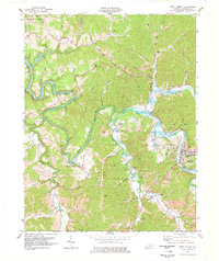
1977 Map of West Liberty
USGS Topo · Published 1978About this map
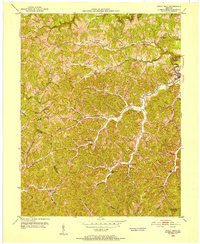
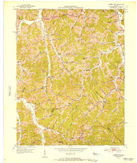
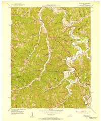
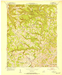
West Liberty serves as the focal point of this Kentucky landscape, situated along the banks of the Licking River just before it feeds into the expansive Cave Run Lake. By the mid-1970s, the area reflects a mix of traditional Appalachian river settlements and modern infrastructure, including the West Liberty Airport and a County Vocational School. The topography is defined by the winding river valley and its numerous tributaries like Elk Fork and Caney Creek, with the Daniel Boone National Forest bordering the northwestern edge.
Find a feature on this map
70 named features on this map. Tap any name to fly to it.
Don’t see what you’re looking for? This feature index may not catch every label — zoom into the map to look around manually.
Map Details
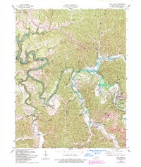
Editions of this 1977 West Liberty Map
2 editions found
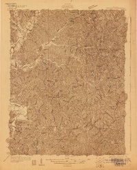
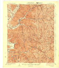
Other maps of this area

1889 · Salyersville
USGS Topo · 1:125,000

1891 · Salyersville
USGS Topo · 1:125,000

1899 · Salyersville
USGS Topo · 1:125,000
1929 · Morehead
USGS Topo · 1:48,000
1935 · Morehead
USGS Topo · 1:62,500
1950 · Sandy Hook
USGS Topo · 1:24,000

1950 · Lenox
USGS Topo · 1:24,000
1951 · Cannel City
USGS Topo · 1:24,000
1951 · White Oak
USGS Topo · 1:24,000
1951 · Ezel
USGS Topo · 1:24,000