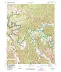
1977 Map of West Liberty
USGS Topo · Published 1993About this map
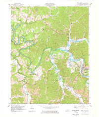
The Licking River meanders through the heart of Morgan County, Kentucky, defining a landscape where narrow valleys meet the protected hills of the Daniel Boone National Forest. In this 1977 survey, updated in the early 1990s, the town of West Liberty serves as the regional hub, situated near the confluence of the river and Elk Fork. The arrival of Cave Run Lake has fundamentally altered the western drainage of the area, where the rising waters now fill the lower reaches of Greasy Creek and Debart Creek.
Find a feature on this map
53 named features on this map. Tap any name to fly to it.
Don’t see what you’re looking for? This feature index may not catch every label — zoom into the map to look around manually.
Map Details
Editions of this 1977 West Liberty Map
2 editions found
Other maps of this area

1889 · Salyersville
USGS Topo · 1:125,000

1891 · Salyersville
USGS Topo · 1:125,000

1899 · Salyersville
USGS Topo · 1:125,000

1929 · Morehead
USGS Topo · 1:48,000

1935 · Morehead
USGS Topo · 1:62,500

1950 · Sandy Hook
USGS Topo · 1:24,000

1950 · Lenox
USGS Topo · 1:24,000

1951 · Cannel City
USGS Topo · 1:24,000

1951 · White Oak
USGS Topo · 1:24,000

1951 · Ezel
USGS Topo · 1:24,000