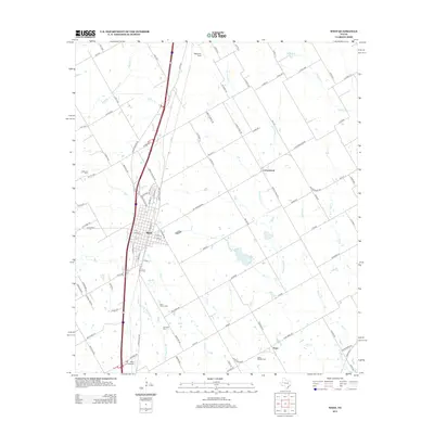
2012 Map of West
USGS Topo · Published 2012About this map
West serves as the central hub of this Central Texas landscape, positioned along the busy corridor of Ih 35. The community is marked by a grid of streets including N Main St and S Reagan St, surrounded by a network of smaller rural settlements like Cottonwood and Tours. The map reveals a high density of local heritage sites, specifically several family and parish burial grounds such as Saint Mary's Cem, Clausner Cem, and Saint Martins Cem.
Find a feature on this map
106 named features on this map. Tap any name to fly to it.
Don’t see what you’re looking for? This feature index may not catch every label — zoom into the map to look around manually.
Map Details
Editions of this 2012 West Map
This is the sole edition of this map. No revisions or reprints were ever made.
Other maps of this area

1892 · Waco
USGS Topo · 1:125,000

1920 · Waco
USGS Topo · 1:125,000

1920 · Mart
USGS Topo · 1:62,500

1931 · Elm Mott
USGS Topo · 1:62,500

1954 · Waco
USGS Topo · 1:250,000

1955 · Waco
USGS Topo · 1:250,000

1956 · Penelope
USGS Topo · 1:24,000

1956 · Axtell
USGS Topo · 1:24,000

1956 · Abbott
USGS Topo · 1:24,000

1956 · West
USGS Topo · 1:24,000