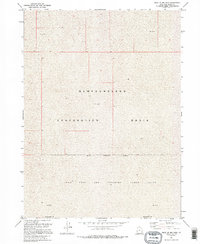
1991 Map of West of Big Pass
USGS Topo · Published 1995About this map
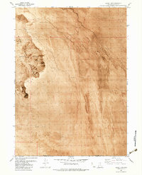
Newfoundland Evaporation Basin dominates this desolate landscape in the Great Salt Lake Desert, where the shifting expanse of Mud defines the terrain. The map captures a specialized environment of salt flats and evaporation areas at the intersection of the Box Elder Co Tooele Co line. Significant portions of the southern quadrangle are restricted, marked by the Military Reservation Boundary that cordons off the Utah Test and Training Range North. This 1991 survey, which utilized aerial photography from 1973 and 1987, reveals a landscape primarily shaped by modern military utility and hydraulic management rather than traditional settlement. The presence of the military range underscores the region's historical role as a remote testing ground, away from the populated corridors of northern Utah.
Find a feature on this map
7 named features on this map. Tap any name to fly to it.
Don’t see what you’re looking for? This feature index may not catch every label — zoom into the map to look around manually.
Map Details
Editions of this 1991 West of Big Pass Map
2 editions found
Other maps of this area

1953 · Tooele
USGS Topo · 1:250,000

1954 · Brigham City
USGS Topo · 1:250,000

1955 · Tooele
USGS Topo · 1:250,000

1958 · Brigham City
USGS Topo · 1:250,000

1962 · Brigham City
USGS Topo · 1:250,000

1973 · Knolls 2 NW
USGS Topo · 1:24,000

1973 · Floating Island NE
USGS Topo · 1:24,000
1973 · Floating Island
USGS Topo · 1:24,000
1979 · Bonneville Salt Flats
USGS Topo · 1:100,000
1983 · Lucin 4 SW
USGS Topo · 1:24,000