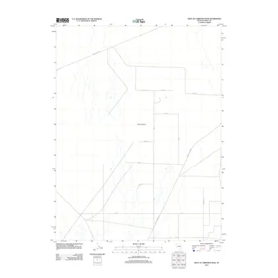
2012 Map of West of Christina Peak
USGS Topo · Published 2012About this map
Diamond Valley is defined here by a distinct, geometric grid of rural roads and drainage patterns in this section of Eureka County. The landscape is marked by a network of thoroughfares, including the arterial Sulfur-Thompson and Eureka-Thompsons routes, which likely served as primary connectors for local agriculture or ranching operations. The presence of named local roads such as Moyle Rd, Moyle Ln, and Mustang Rd suggests long-standing family ranching heritage or specific land use partitions within this arid valley basin. This survey demonstrates the orderly division of space in the Great Basin region, where numbered streets like 14th St and 20th St intersect with named paths like Lariat and Keg St, reflecting a planned approach to rural development in the early 21st century.
Find a feature on this map
15 named features on this map. Tap any name to fly to it.
Don’t see what you’re looking for? This feature index may not catch every label — zoom into the map to look around manually.
Map Details
Editions of this 2012 West of Christina Peak Map
This is the sole edition of this map. No revisions or reprints were ever made.
Other maps of this area

1926 · Roberts Mountains
USGS Topo · 1:250,000

1929 · Roberts Mountains
USGS Topo · 1:250,000

1949 · Garden Valley
USGS Topo · 1:62,500

1951 · Garden Valley
USGS Topo · 1:62,500

1953 · Eureka
USGS Topo · 1:62,500

1955 · Millett
USGS Topo · 1:250,000

1956 · Whistler Mtn
USGS Topo · 1:62,500

1956 · Ely
USGS Topo · 1:250,000

1957 · Diamond Springs
USGS Topo · 1:62,500

1959 · Ely
USGS Topo · 1:250,000