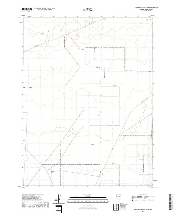
2021 Map of West of Christina Peak
USGS Topo · Published 2021About this map
Pony Express Trl cuts across the northern landscape of this remote Eureka County quadrant, marking a historic transportation corridor that once connected the American West. The terrain is dominated by the expansive Diamond Valley, where a sparse but organized grid of rural roads now defines the valley floor. Modern routes like Keg Rd, Moyle Dr, and a series of numbered streets including 19th St and 17th St indicate the area's transition into a surveyed agricultural or residential patchwork. This map documents the intersection of frontier history and contemporary land management, showing how the original trail path aligns with newer thoroughfares such as Co Rd 101 and Mustang St.
Find a feature on this map
14 named features on this map. Tap any name to fly to it.
Don’t see what you’re looking for? This feature index may not catch every label — zoom into the map to look around manually.
Map Details
Editions of this 2021 West of Christina Peak Map
This is the sole edition of this map. No revisions or reprints were ever made.
Other maps of this area

1926 · Roberts Mountains
USGS Topo · 1:250,000

1929 · Roberts Mountains
USGS Topo · 1:250,000

1949 · Garden Valley
USGS Topo · 1:62,500

1951 · Garden Valley
USGS Topo · 1:62,500

1953 · Eureka
USGS Topo · 1:62,500

1955 · Millett
USGS Topo · 1:250,000

1956 · Whistler Mtn
USGS Topo · 1:62,500

1956 · Ely
USGS Topo · 1:250,000

1957 · Diamond Springs
USGS Topo · 1:62,500

1959 · Ely
USGS Topo · 1:250,000