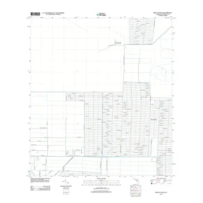
2012 Map of West of Delta
USGS Topo · Published 2012About this map
The Acreage defines the residential layout of this western Palm Beach County landscape, characterized by an extensive grid of numbered and named lanes. The development pattern consists of large rural lots, with major thoroughfares like Northlake Blvd and Seminole Pratt Whitney Rd providing primary access to the region. To the north, the landscape transitions away from the residential grid toward the South Florida Youth Conservation Camp, which is reached via Stumpers Grade Rd. This 2012 survey illustrates the unique transition between structured suburban-rural expansion and the conservation areas of the northern Everglades ecosystem. The presence of numerous boulevards, such as Bonita Blvd, Largo Blvd, and Tangelo Blvd, reflects the local naming conventions of this planned residential community.
Find a feature on this map
149 named features on this map. Tap any name to fly to it.
Don’t see what you’re looking for? This feature index may not catch every label — zoom into the map to look around manually.
Map Details
Editions of this 2012 West of Delta Map
This is the sole edition of this map. No revisions or reprints were ever made.
Other maps of this area

1945 · Delta
USGS Topo · 1:24,000

1946 · Palm Beach Farms
USGS Topo · 1:24,000

1948 · Rood
USGS Topo · 1:24,000

1949 · Rood
USGS Topo · 1:24,000

1949 · Palm Beach Farms
USGS Topo · 1:24,000

1950 · Delta
USGS Topo · 1:24,000

1956 · West Palm Beach
USGS Topo · 1:250,000

1957 · West Palm Beach
USGS Topo · 1:250,000

1958 · West Palm Beach
USGS Topo · 1:250,000

1970 · West Palm Beach 2 SW
USGS Topo · 1:24,000