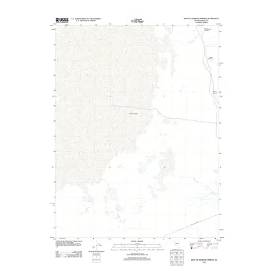
2012 Map of West of Diamond Springs
USGS Topo · Published 2012About this map
Diamond Valley dominates this 2012 survey, illustrating the arid landscape of Eureka County at the beginning of the 21st century. The map centers on the drainage patterns and water sources critical to the Great Basin, including the perennial presence of Diamond Springs and the seasonal flow of Tafts Creek. The eastern margin is defined by a series of steep drainages, most notably Box Springs Canyon, Rock Canyon, and Willow Canyon, which transition from the higher terrain down into the valley floor.
Find a feature on this map
7 named features on this map. Tap any name to fly to it.
Don’t see what you’re looking for? This feature index may not catch every label — zoom into the map to look around manually.
Map Details
Editions of this 2012 West of Diamond Springs Map
This is the sole edition of this map. No revisions or reprints were ever made.
Other maps of this area

1926 · Roberts Mountains
USGS Topo · 1:250,000

1929 · Roberts Mountains
USGS Topo · 1:250,000

1934 · Jiggs
USGS Topo · 1:125,000

1937 · Mineral Hill
USGS Topo · 1:48,000

1937 · Jiggs
USGS Topo · 1:125,000

1943 · Mineral Hill
USGS Topo · 1:62,500

1949 · Garden Valley
USGS Topo · 1:62,500

1951 · Garden Valley
USGS Topo · 1:62,500

1955 · Millett
USGS Topo · 1:250,000

1955 · Winnemucca
USGS Topo · 1:250,000