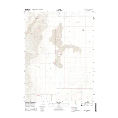
2014 Map of West of Empire
USGS Topo · Published 2014About this map
The Fox Range dominates the western portion of this 2014 survey, where steep terrain transitions into the expansive alkaline flats of the Black Rock Desert. This area of Washoe County reflects a high-desert environment defined by extreme topographical shifts, from the 5,000-foot peaks of the range down to the vast, level playa to the east. Water sources are scarce and localized, represented by seasonal drainages such as Cottonwood Cr and Willow Cr that descend from the higher elevations toward the desert floor. The map highlights the intersection of several public land survey townships, including t31n r22e and t31n r22.5e, illustrating the complex sectioning of this sparsely settled corner of Nevada. This survey documents the landscape's natural state before modern industrial or recreational footprints altered the surface of the playa.
Find a feature on this map
13 named features on this map. Tap any name to fly to it.
Don’t see what you’re looking for? This feature index may not catch every label — zoom into the map to look around manually.
Map Details
Editions of this 2014 West of Empire Map
This is the sole edition of this map. No revisions or reprints were ever made.
Other maps of this area

1886 · Granite Range
USGS Topo · 1:250,000

1894 · Granite Range
USGS Topo · 1:250,000

1955 · Lovelock
USGS Topo · 1:250,000

1959 · Lovelock
USGS Topo · 1:250,000

1964 · Gerlach
USGS Topo · 1:62,500

1964 · Kumiva Peak
USGS Topo · 1:62,500

1965 · Fox Range
USGS Topo · 1:62,500

1980 · Wall Spring
USGS Topo · 1:24,000

1980 · Smith Canyon
USGS Topo · 1:24,000

1981 · Gerlach
USGS Topo · 1:100,000