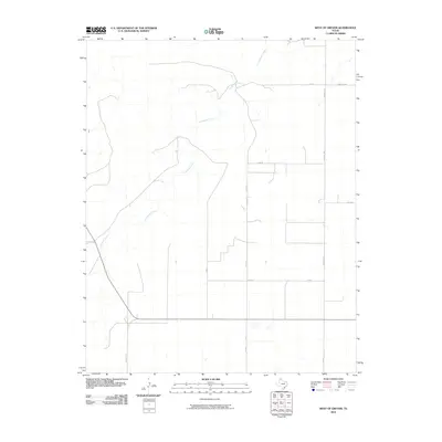
2010 Map of West of Gruver
USGS Topo · Published 2010About this map
Coldwater Creek meanders through this portion of the Texas Panhandle, carving a distinct path across a landscape defined by its agricultural geometry. In this rural stretch of Sherman County, the traditional grid of county roads and farm-to-market routes facilitates a strictly organized pattern of land use. Significant infrastructure like Farm Rd 1573 and Farm Rd 1282 intersect at precise intervals, providing the necessary links for local ranching and farming operations.
Find a feature on this map
11 named features on this map. Tap any name to fly to it.
Don’t see what you’re looking for? This feature index may not catch every label — zoom into the map to look around manually.
Map Details
Editions of this 2010 West of Gruver Map
This is the sole edition of this map. No revisions or reprints were ever made.
Other maps of this area

1954 · Perryton
USGS Topo · 1:250,000

1958 · Perryton
USGS Topo · 1:250,000

1973 · Gruver
USGS Topo · 1:24,000

1974 · Sunray 1 NW
USGS Topo · 1:24,000

1974 · Hannas Draw East
USGS Topo · 1:24,000

1974 · Sunray 1 SW
USGS Topo · 1:24,000

1974 · Sunray 1 SE
USGS Topo · 1:24,000

1974 · Capps Switch NW
USGS Topo · 1:24,000

1974 · Hannas Draw West
USGS Topo · 1:24,000

1974 · Sunray 1 NE
USGS Topo · 1:24,000