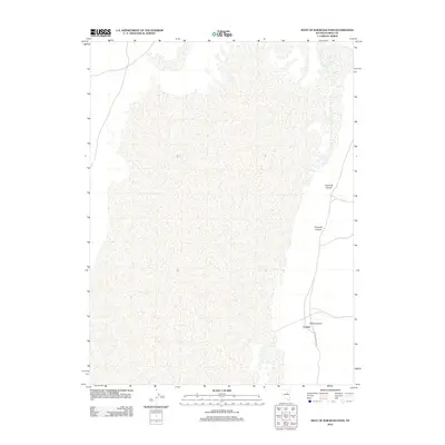
2012 Map of West of Railroad Pass
USGS Topo · Published 2012About this map
Corwin sits at the edge of a landscape defined by desert drainage systems in Eureka County, Nevada. This high-desert terrain is marked by the distinct paths of Davis Canyon, Fivemile Canyon, and Fourmile Canyon, which cut through the open country. The transportation network here is sparse, characterized primarily by the Eureka-Thompson S road, which provides the primary access through this remote area. The settlement pattern is minimal, reflecting the arid nature of the Great Basin and the reliance on specific canyon access points for movement through the region. This survey captures the topographical character and basic infrastructure of the area at the start of the 2010s, focusing on the essential named landmarks that orient travelers and locals alike.
Find a feature on this map
5 named features on this map. Tap any name to fly to it.
Don’t see what you’re looking for? This feature index may not catch every label — zoom into the map to look around manually.
Map Details
Editions of this 2012 West of Railroad Pass Map
This is the sole edition of this map. No revisions or reprints were ever made.
Other maps of this area

1926 · Roberts Mountains
USGS Topo · 1:250,000

1929 · Roberts Mountains
USGS Topo · 1:250,000

1934 · Jiggs
USGS Topo · 1:125,000

1937 · Mineral Hill
USGS Topo · 1:48,000

1937 · Jiggs
USGS Topo · 1:125,000

1943 · Mineral Hill
USGS Topo · 1:62,500

1949 · Garden Valley
USGS Topo · 1:62,500

1951 · Garden Valley
USGS Topo · 1:62,500

1955 · Millett
USGS Topo · 1:250,000

1955 · Winnemucca
USGS Topo · 1:250,000