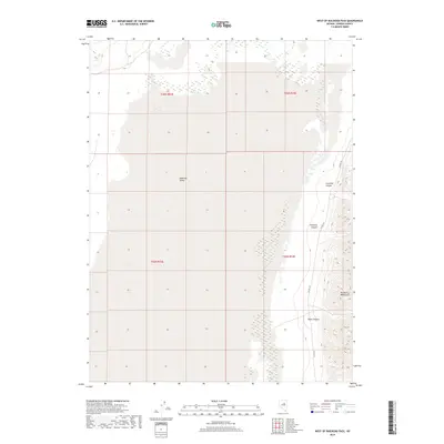
2018 Map of West of Railroad Pass
USGS Topo · Published 2018About this map
Diamond Valley dominates the western expanse of this Eureka County landscape, where the flat basin floor meets the rising slopes of the Diamond Mountains to the east. This 2018 survey illustrates the stark transition between the valley and the high country, defined by a series of drainages including Fourmile Canyon, Fivemile Canyon, and Davis Canyon. The topographical detail reveals the intricate seasonal wash patterns and wetland areas that characterize this high desert environment. Human presence is concentrated along the eastern margin, where Co Rte 101 skirts the base of the mountains, following the natural contour of the land. The map serves as a precise record of the public land survey system, showing the township and range divisions of t26n r53e and t25n r54e across the open basin.
Find a feature on this map
10 named features on this map. Tap any name to fly to it.
Don’t see what you’re looking for? This feature index may not catch every label — zoom into the map to look around manually.
Map Details
Editions of this 2018 West of Railroad Pass Map
This is the sole edition of this map. No revisions or reprints were ever made.
Other maps of this area

1926 · Roberts Mountains
USGS Topo · 1:250,000

1929 · Roberts Mountains
USGS Topo · 1:250,000

1934 · Jiggs
USGS Topo · 1:125,000

1937 · Mineral Hill
USGS Topo · 1:48,000

1937 · Jiggs
USGS Topo · 1:125,000

1943 · Mineral Hill
USGS Topo · 1:62,500

1949 · Garden Valley
USGS Topo · 1:62,500

1951 · Garden Valley
USGS Topo · 1:62,500

1955 · Millett
USGS Topo · 1:250,000

1955 · Winnemucca
USGS Topo · 1:250,000