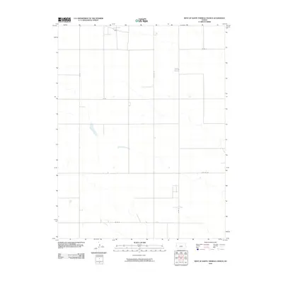
2010 Map of West of Sainte Theresa Church
USGS Topo · Published 2010About this map
Tribune Township in the high plains of western Kansas is characterized by a precise, rhythmic grid of agricultural infrastructure. This region of Greeley County is defined by the intersections of long-range thoroughfares like Whitelaw Rd and Four Mile Rd, which carve the landscape into expansive sections typical of the American West's survey system. While the terrain appears open, a network of arterial routes including Co Rd J, Co Rd G, and Co Rd N facilitates the movement of grain and livestock across the township. The map reveals the essential role of localized transit in this farming community, where the placement of tracks like Co Rd 21 and Co Rd 17 reflects the logistical needs of remote land parcels and their connection to larger regional hubs.
Find a feature on this map
7 named features on this map. Tap any name to fly to it.
Don’t see what you’re looking for? This feature index may not catch every label — zoom into the map to look around manually.
Map Details
Editions of this 2010 West of Sainte Theresa Church Map
This is the sole edition of this map. No revisions or reprints were ever made.
Other maps of this area

1955 · Scott City
USGS Topo · 1:250,000

1958 · Scott City
USGS Topo · 1:250,000

1968 · Sharon Springs 3 NE
USGS Topo · 1:24,000

1968 · Sharon Springs 4 NW
USGS Topo · 1:24,000

1968 · Sharon Springs 4 NE
USGS Topo · 1:24,000

1970 · Sharon Springs 4 SE
USGS Topo · 1:24,000

1970 · Sharon Springs 3 SE
USGS Topo · 1:24,000

1970 · Sharon Springs 4 SW
USGS Topo · 1:24,000

1970 · Selkirk
USGS Topo · 1:24,000

1970 · Selkirk NW
USGS Topo · 1:24,000