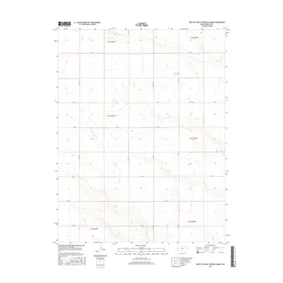
2015 Map of West of Sainte Theresa Church
USGS Topo · Published 2015About this map
Agricultural lands and a precise grid of rural routes define this part of Greeley County, west of the landmark church site. The landscape is structured by the Public Land Survey System, with township and range lines like t17s r40w and t17s r39w organizing the vast open spaces. The network of county roads, including Whitelaw Rd, Co Rd G, and Road N, provides the primary infrastructure for the farming community.
Find a feature on this map
18 named features on this map. Tap any name to fly to it.
Don’t see what you’re looking for? This feature index may not catch every label — zoom into the map to look around manually.
Map Details
Editions of this 2015 West of Sainte Theresa Church Map
This is the sole edition of this map. No revisions or reprints were ever made.
Other maps of this area

1955 · Scott City
USGS Topo · 1:250,000

1958 · Scott City
USGS Topo · 1:250,000

1968 · Sharon Springs 3 NE
USGS Topo · 1:24,000

1968 · Sharon Springs 4 NW
USGS Topo · 1:24,000

1968 · Sharon Springs 4 NE
USGS Topo · 1:24,000

1970 · Sharon Springs 4 SE
USGS Topo · 1:24,000

1970 · Sharon Springs 3 SE
USGS Topo · 1:24,000

1970 · Sharon Springs 4 SW
USGS Topo · 1:24,000

1970 · Selkirk
USGS Topo · 1:24,000

1970 · Selkirk NW
USGS Topo · 1:24,000