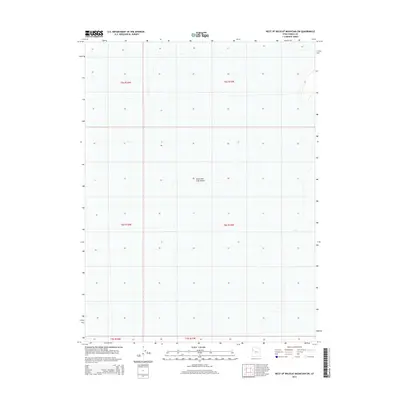
2014 Map of West of Wildcat Mountain SW
USGS Topo · Published 2014About this map
Great Salt Lake Desert dominates the landscape of this 2014 survey in Tooele County. The terrain is defined by its extreme flatness and lack of surface features, characteristic of the vast salt flats and prehistoric lake beds that occupy the western portion of Utah. The sparse contour lines and lack of established settlements or infrastructure underscore the isolation of this region. Instead of towns or roads, the map is primarily segmented by the Public Land Survey System, showing the transition between townships such as t5s r16w and t6s r15w. This document serves as a study in the geographic emptiness of the basin-and-range province before it meets more prominent topographic relief to the east.
Find a feature on this map
7 named features on this map. Tap any name to fly to it.
Don’t see what you’re looking for? This feature index may not catch every label — zoom into the map to look around manually.
Map Details
Editions of this 2014 West of Wildcat Mountain SW Map
This is the sole edition of this map. No revisions or reprints were ever made.
Other maps of this area

1953 · Tooele
USGS Topo · 1:250,000

1955 · Tooele
USGS Topo · 1:250,000

1973 · Wildcat Mountain SW
USGS Topo · 1:24,000

1973 · Wildcat Mountain NW
USGS Topo · 1:24,000

1973 · Gold Hill 1 SE
USGS Topo · 1:24,000

1973 · Gold Hill 1 SW
USGS Topo · 1:24,000

1973 · Gold Hill 1 NE
USGS Topo · 1:24,000

1973 · Granite Peak NW
USGS Topo · 1:24,000
1973 · Gold Hill 4 NE
USGS Topo · 1:24,000
1973 · Gold Hill Wash
USGS Topo · 1:24,000