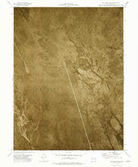
1973 Map of Gold Hill 4 NE
USGS Topo · Published 1977About this map
Dugway Proving Ground occupies the central and southern portions of this orthophotomap, revealing the stark, restricted landscape of Tooele County during the early 1970s. The aerial imagery captures the expansive, featureless nature of the Mud Flat, where the lack of vegetation and the presence of alkaline deposits create a distinctive texture across the Great Salt Lake Desert. This survey, conducted by the Geological Survey in collaboration with the Utah Geological and Mineral Survey, serves as a technical record of military land use and desert topography. The visible tracks and boundary lines, including the division between R 16 W and R 15 W, provide a clear sense of the isolation and scale of this military installation within the larger desert basin.
Find a feature on this map
4 named features on this map. Tap any name to fly to it.
Don’t see what you’re looking for? This feature index may not catch every label — zoom into the map to look around manually.
Map Details
Editions of this 1973 Gold Hill 4 NE Map
2 editions found
Other maps of this area

1953 · Tooele
USGS Topo · 1:250,000

1955 · Tooele
USGS Topo · 1:250,000
1973 · Gold Hill 4 SE
USGS Topo · 1:24,000

1973 · Wildcat Mountain SW
USGS Topo · 1:24,000

1973 · Gold Hill 1 SE
USGS Topo · 1:24,000

1973 · Gold Hill 1 SW
USGS Topo · 1:24,000

1973 · Granite Peak NW
USGS Topo · 1:24,000
1973 · Granite Peak SW
USGS Topo · 1:24,000
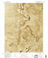
1973 · Goshute Wash
USGS Topo · 1:24,000
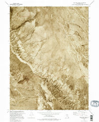
1973 · Gold Hill Wash
USGS Topo · 1:24,000