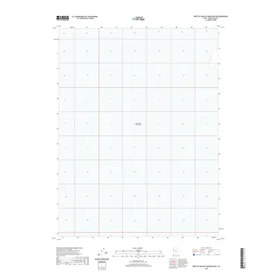
2020 Map of West of Wildcat Mountain SW
USGS Topo · Published 2020About this map
The Great Salt Lake Desert dominates this Tooele County terrain, revealing the stark and vast geography of western Utah. Surveyed as part of the 2020 national topographic series, this specific quadrangle highlights a landscape largely defined by its prehistoric lakebed heritage, where the lack of human settlements or industrial development is the primary characteristic. The map preserves the precise Public Land Survey System grid, dividing this section of the desert into numbered townships and ranges. This layout illustrates how the American West was mathematically partitioned even in areas that remain uninhabited, providing a baseline for land ownership and boundary research in a region where the environment dictated an absence of traditional infrastructure.
Find a feature on this map
1 named feature on this map. Tap any name to fly to it.
Don’t see what you’re looking for? This feature index may not catch every label — zoom into the map to look around manually.
Map Details
Editions of this 2020 West of Wildcat Mountain SW Map
This is the sole edition of this map. No revisions or reprints were ever made.
Other maps of this area

1953 · Tooele
USGS Topo · 1:250,000

1955 · Tooele
USGS Topo · 1:250,000

1973 · Wildcat Mountain SW
USGS Topo · 1:24,000

1973 · Wildcat Mountain NW
USGS Topo · 1:24,000

1973 · Gold Hill 1 SE
USGS Topo · 1:24,000

1973 · Gold Hill 1 SW
USGS Topo · 1:24,000

1973 · Gold Hill 1 NE
USGS Topo · 1:24,000

1973 · Granite Peak NW
USGS Topo · 1:24,000
1973 · Gold Hill 4 NE
USGS Topo · 1:24,000
1973 · Gold Hill Wash
USGS Topo · 1:24,000